Surveying types and maps

By Structural Community in Surveying
· 459 views
Surveying
Surveying is a technique in by which measurements are taken on the surface of the earth and presented on the maps or stored in the digital format and vice versa. There are following types surveying,
1. Plane surveying
It is meant for small areas where the surface of the earth is taken to be plane surface, i.e. curvature of the earth is ignored. e.g. for survey inside a city.
2. Geodetic surveying
In this curvature of the earth is taken into consideration. e.g. National surveys, Basic triangulation network of a country. Geodesy is termed as actual shape of the earth.
Surveying maps
There are following types of surveying maps:
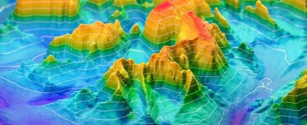
1. Topographic maps
It shows natural and artificial features on the surface of the earth. Surveying done for this purpose is called topographic surveying.
2. Engineering maps
Thes maps shows the detail of engineering projects, e.g. roads, bridges, dams. Surveying done for this purpose is called engineering surveying.
3. Geographic maps
These are about the political boundaries of the country and used by general public. Surveying done of these purposes are undertaken by the state agency.
e.g. in Pakistan state agency is "Survey of Pakistan"
4. Cadastral maps
These shows ownership rights of individual or communities. Surveying done for this purpose is called cadastral surveying.
Recommended Comments